web maps
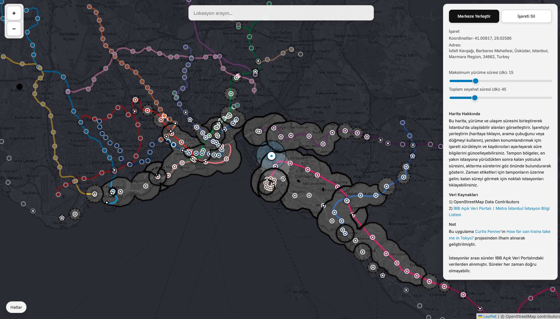
This map visualizes accessible areas in Istanbul by combining walking and travel times.
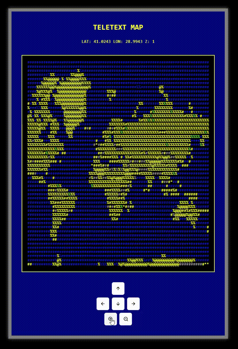
A retro-inspired map viewer that transforms modern maps into nostalgic ASCII art displays, reminiscent of classic teletext systems.
cartography
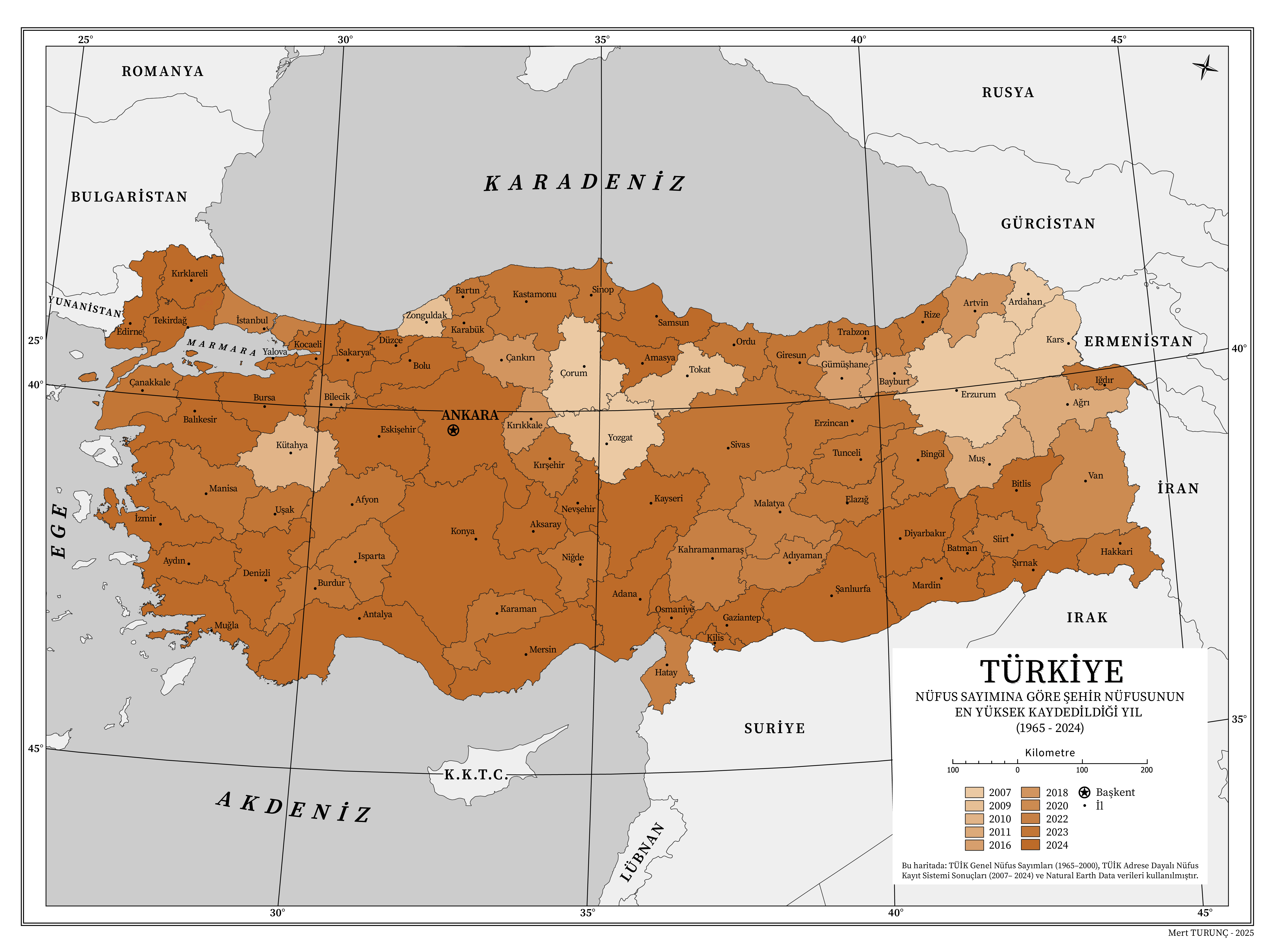
Using data from the Turkish Statistical Institute's (TÜİK) population census and the Population Registration System (ADNKS), I visualized the periods when cities in Turkey reached their highest populations between 1965 and 2024. I used Python for data processing, performed spatial arrangements in QGIS, and completed the final visual edits in Adobe Illustrator.
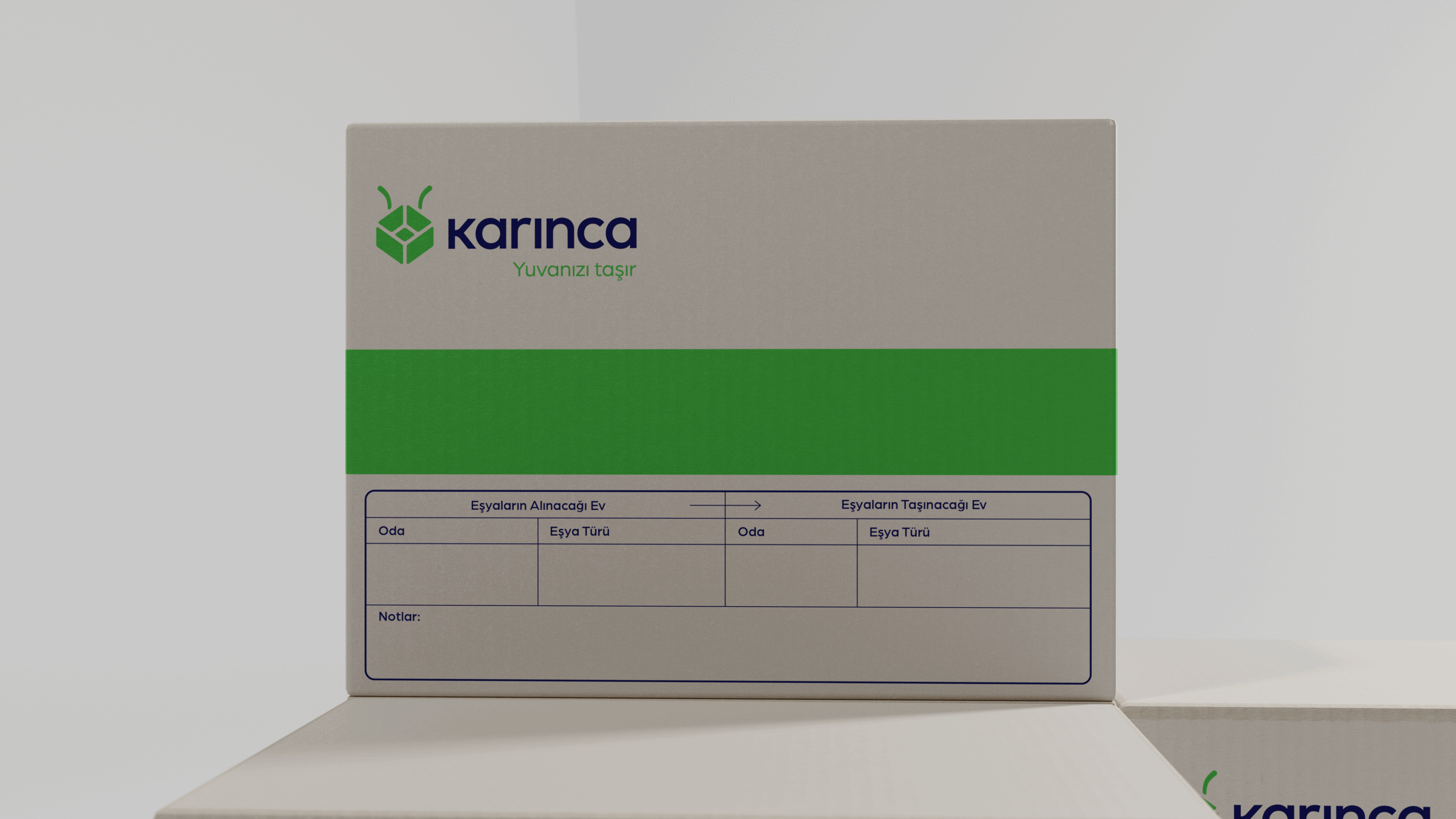
mapbox studio
Designed in Mapbox Studio for the istNOMbul project.
Designed in Mapbox Studio for the istNOMbul project.
blender

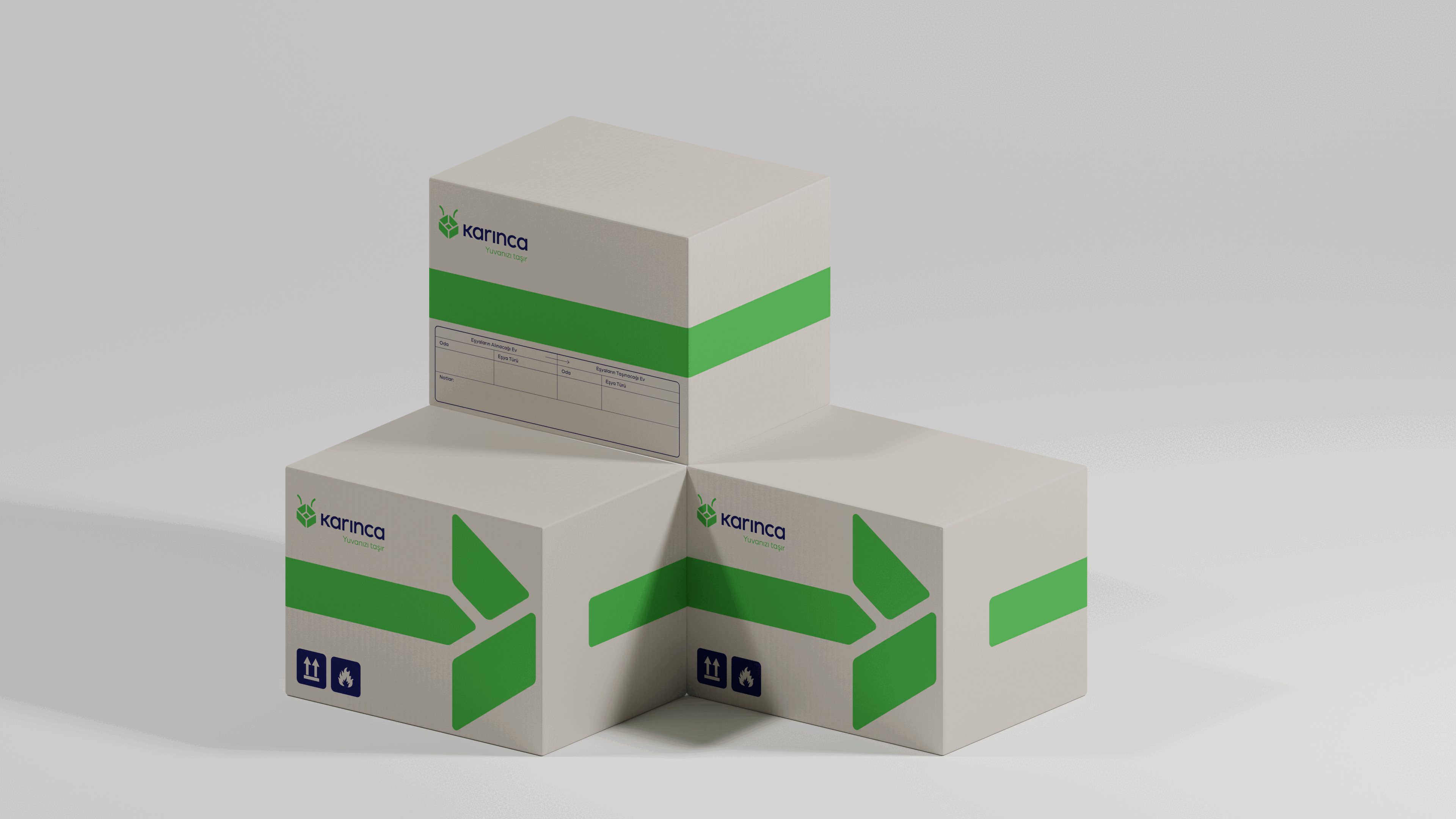
Rendered in blender for a cliet.


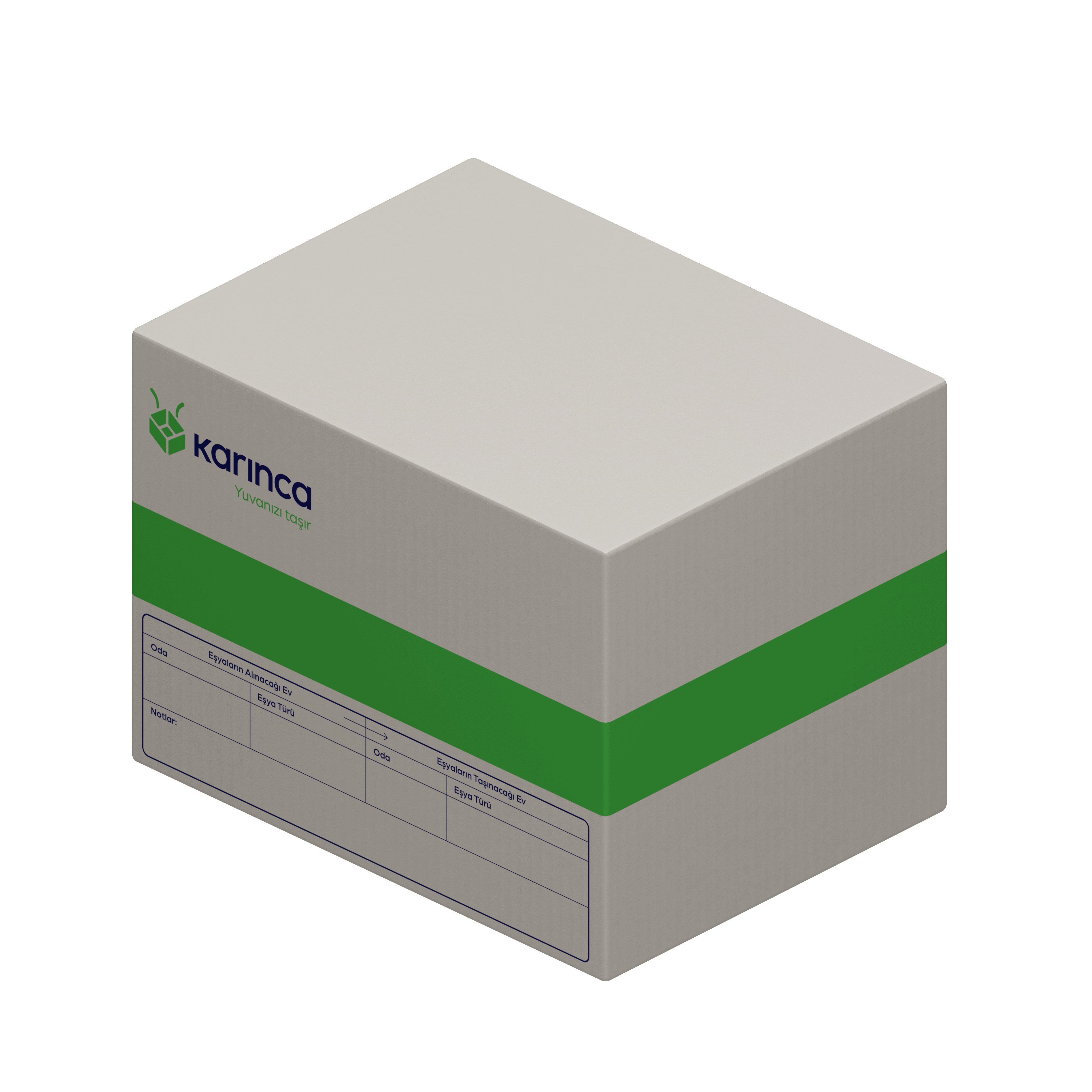

Designed and rendered in blender for a cliet.


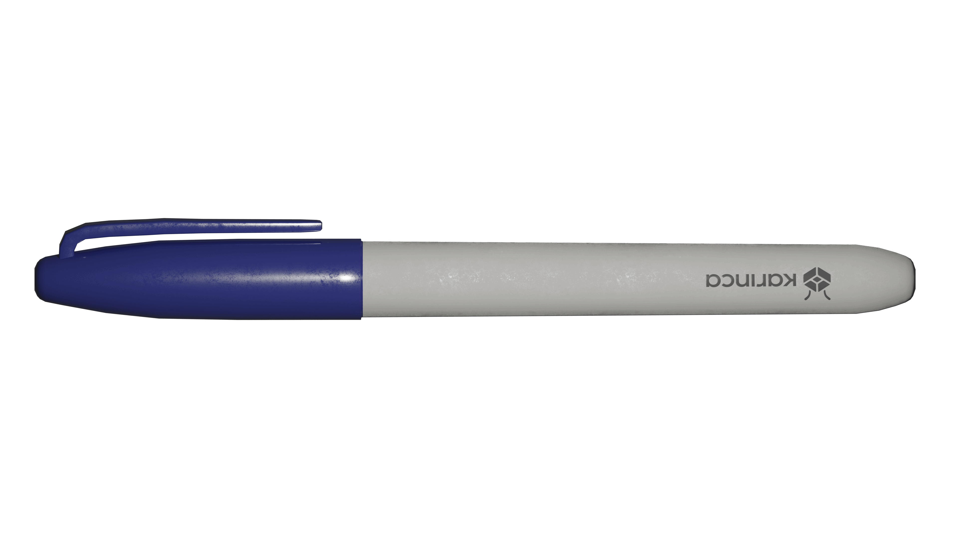
Rendered in blender for a cliet.
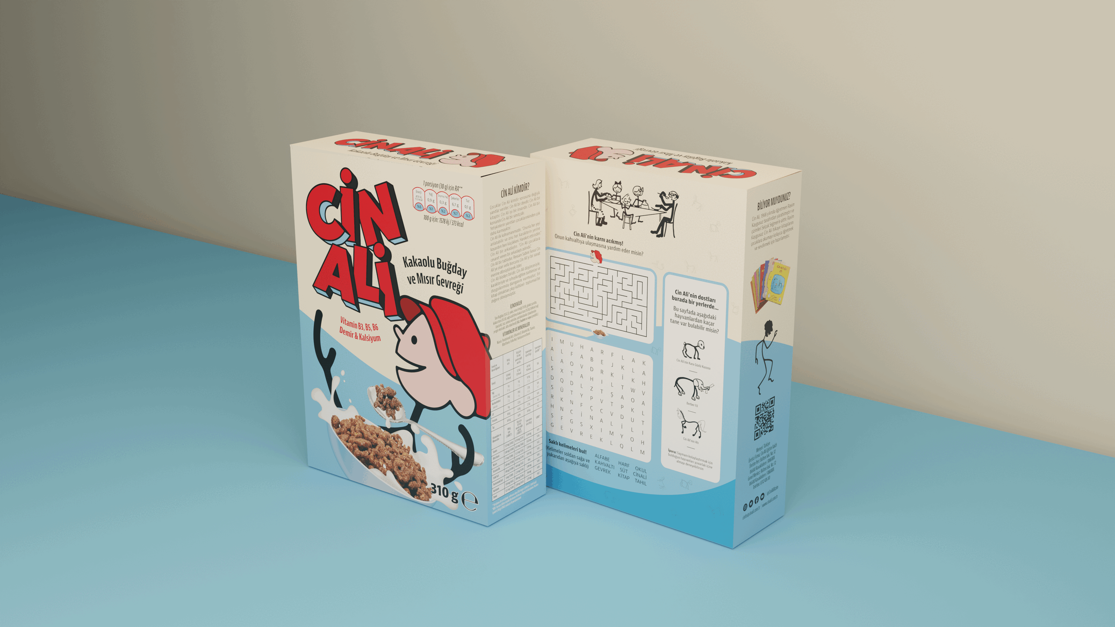
Rendered in blender for a cliet.
photogrammetry
Tekirdağ Archaeology and Ethnography Museum
Tekirdağ Archaeology and Ethnography Museum
I don't have information about it as there was no informational plaque around the artifact.